Our Services
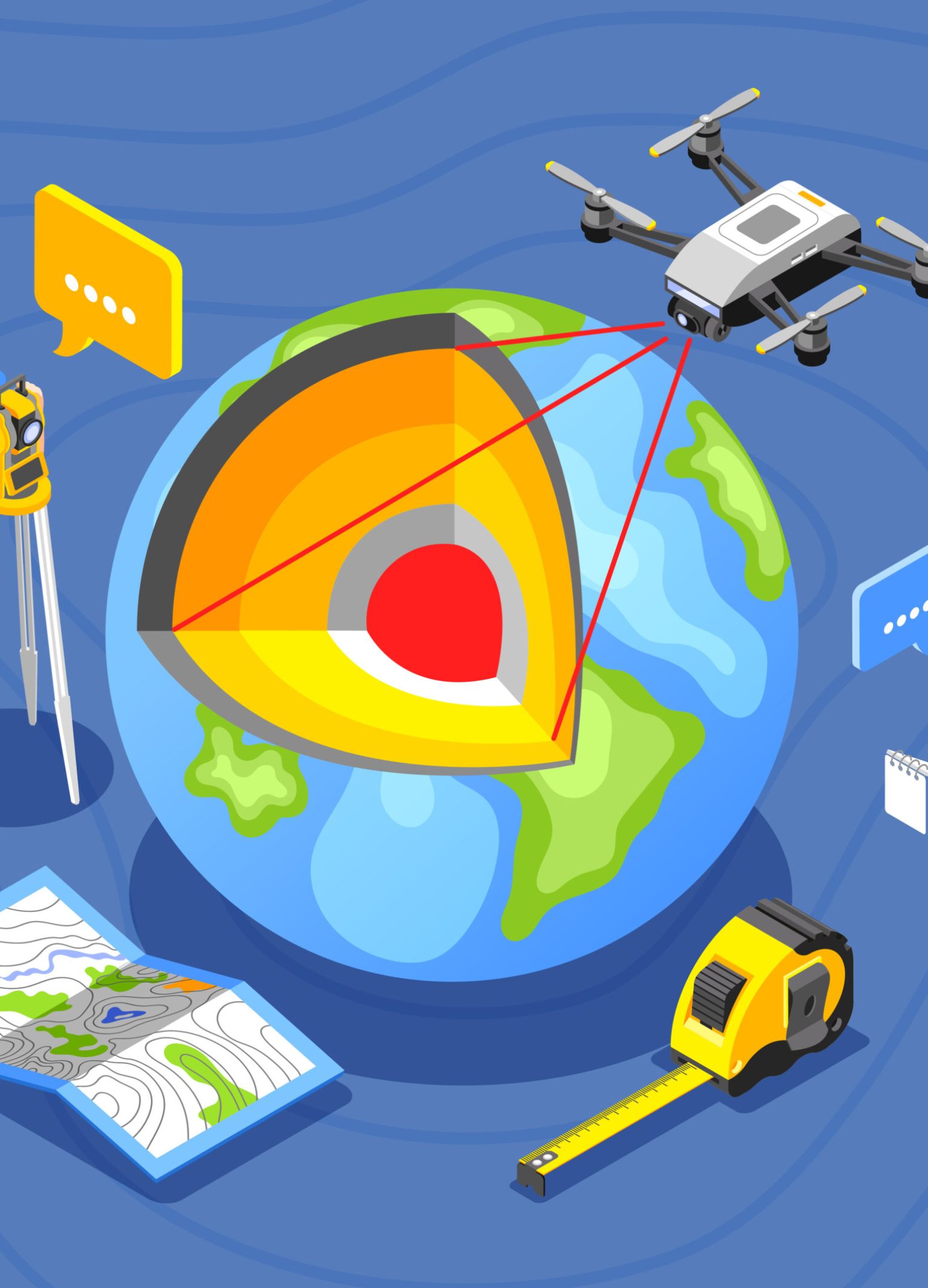
Dive into the world of unparalleled precision with Map Earth, where innovation meets expertise in surveying and mapping. Our bouquet of services, including cutting-edge aerial drone mapping, detailed land surveying, and immersive 3D modeling, is designed to bring your projects to life with unmatched accuracy. Whether optimizing urban landscapes or charting new territories, our solutions are tailored to propel your vision into reality. Partner with us to harness the power of geospatial technology and turn every challenge into an opportunity. Let Map Earth be your guide in unveiling the true potential of your projects with clarity and insight.
Satellite/ Drone Image Mapping and Analyzing
- Land Use Land Cover Mapping
- Change Detection
- Fragmentation Analysis
Survey
- GPS.
- DGPS.
- Drone.
- Total Station.
- Plan Survey (Plan Table, Prismatic and Theodolite).
- Utility Corridor Survey and Mapping.
- Underground/Subsurface Utility Survey (GPR) and Mapping.
- Property Assessment Survey (Survey of the individual properties).
- Boundary Survey and Mapping (Forest, Agriculture etc.,)
Digital Mapping
- Digitizing (Computerization of land records)
- Digitization of existing spatial entities such as base maps
- Updation of property records
- Property Tax Assessment
- Infrastructure database creation
- Updation of the non-spatial database on a day to day citizen centric level
- CAD Digital Mapping
Georeferencing
- Toposheet
- Cadastral Map
- Forest Maps
Geo-tagging
Geo-tagging is the process of adding geographical coordinates (latitude & longitude) to digital content for enhanced mapping, tracking, and analysis. It is widely used in navigation, asset management, marketing, and research.
Our company provides professional Geo-Tagging services tailored to business, research, and organizational needs. Pricing and service locations vary based on project requirements.
For detailed pricing and location availability, kindly contact us.
Geospatial Consultancy for Research Work
Our company provides expert Geospatial Consultancy Services tailored to the specific needs of organizations and institutes. We offer professional support in GIS, Remote Sensing, Spatial Analysis, and more to enhance research and decision-making.
For further details, kindly contact us.
Environmental & Ecology Monitoring
- Fragmentation analysis
- Bio-diversity scoring
- LULC change maps
- Niche modeling
- Time series analysis
- Forest cover change analysis
- Corridor analysis
- Species density analysis
- Habitat Mapping and Assessment
- Climate change impact analysis on species
- Biodiversity Scaling Patterns analysis etc.
We provide customized environmental services based on client needs. For more details, kindly contact us.
Power of Geospatial science
Discover how our comprehensive range of surveying, mapping, and geospatial services can elevate your projects. From advanced geo-tagging and precise digital mapping to expert georeferencing and insightful scientific report writing, our services are designed to provide you with the accuracy and detail necessary for informed decision-making. Whether you’re in need of in-depth geospatial consultancy for research work or reliable updates to property and infrastructure databases, Map Earth is equipped to deliver tailored solutions that meet your specific needs and exceed your expectations. Explore our services and let us help you harness the power of precise geographic data.

